We delve into the transformative potential of spatial analysis, machine learning and AI, exploring how these technologies drive value and unlock new insights, ultimately shaping the future of business.
Blogs

Calculating ROI: The Business Case for Integrated Mining Operations Software
Mining operates at the intersection of high capital intensity,...
Read More
Land Administration in Mining: Why Integration Is Replacing Fragmentation as the New Operating Standard
Walk into almost any mine today and you’ll find no shortage of...
Read More
Recognizing World Wildlife Conservation Day: A Call to Protect Life on Earth
Every year on December 4, we observe World Wildlife Conservation...
Read More
Building Smart Land Banks with GIS & GeoAI: From Temple Trusts to Mega Cities
Land remains one of India’s most contested and complex assets....
Read More
The Role of Open Source Technology in Modern Mining Software
Global mining is undergoing a digital transformation. In 2023, the...
Read More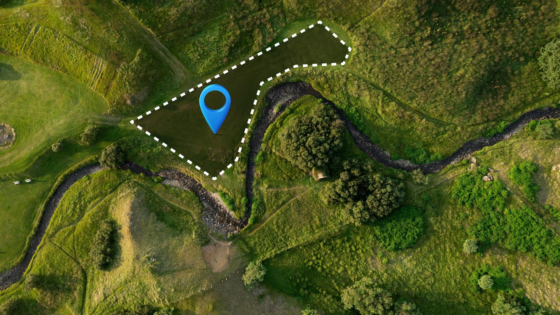
How Automation is Transforming Land Acquisition and Approval Workflows
Land acquisition has long been one of the most time-consuming stages...
Read More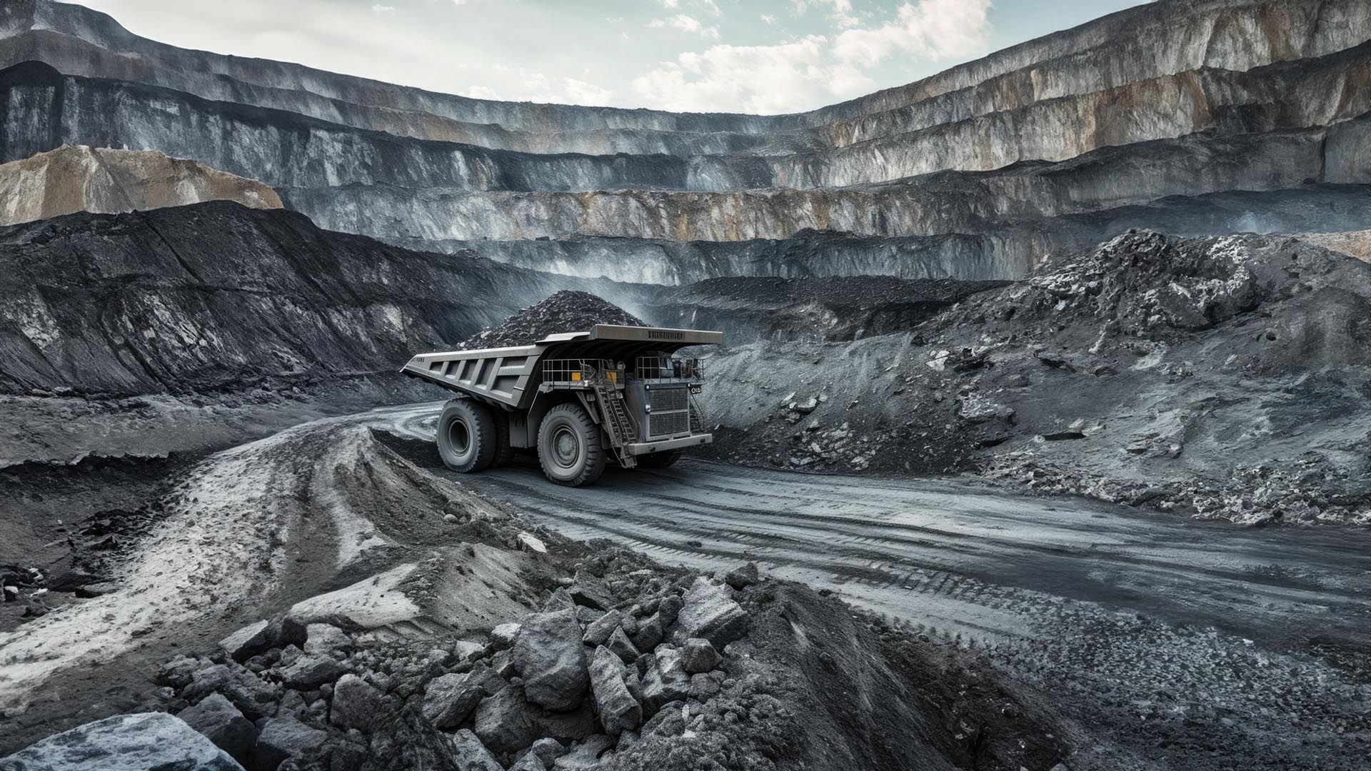
Data Silos in Mining: The Hidden Cost No One Talks About
Mining is entering a tech inflection point driven by real-time data,...
Read More
How Integrated Platforms Reduce Compliance Risks in Mining
The Mining Industry (MI) remains one of the most critical pillars of...
Read More
World Elephant Day: How Technology is Saving Elephants and Preventing Conflict
Every year on 12 August, World Elephant Day reminds us of one truth,...
Read More
Empowering Indigenous Voices Through Geo-spatial Solutions
On this International Day of Indigenous Peoples, we look at how...
Read More
High-Precision DGPS for Mining Lease Validation: Bridging Accuracy Gaps in Land Surveying
In today’s rapidly evolving industrial landscape, the Indian mining...
Read More
Enhancing Agroforestry & Carbon Sequestration with Geospatial Technology
Agroforestry, the integration of trees and shrubs into farming...
Read More
GeoAI for Climate Resilience advancing Forest Carbon Accounting
The urgency of climate action has pushed industries to integrate...
Read More
Geospatial Intelligence in Forest Clearance: A Game Changer for Compliance & Monitoring
Geospatial Intelligence in Forest Clearance: A Game Changer for...
Read More
Carbon Sequestration Through Restoration of Degraded Forests and Livelihood Improvement in Uttarakhand
Forests play a crucial role in carbon sequestration, acting as...
Read More
How Forestry Software Supports Compliance with Environmental Regulations
Modern advancements in forestry software have revolutionized the way...
Read More
Enhancing Sustainable Ecological Restoration Through GeoICT and GIS-MIS Integration
Forests support 80% of terrestrial biodiversity, directly benefiting...
Read More
The Future of Forest Management: Innovations Emerging from Geospatial Technologies
India’s forest management system has long faced significant...
Read More
AI-Powered Geospatial Solutions for Optimizing Urban Transportation Networks: Enhancing Mobility and Reducing Congestion
Efficient urban transportation systems are essential for sustainable...
Read More
How Forestry Software Supports Compliance with Environmental Regulations
Modern advancements in forestry software have revolutionized the way...
Read More
Global Call to Action: Protecting India’s Wildlife on “World Wildlife Conservation Day”
Over the past two decades the rapid socio-economic development...
Read More

Boost Crop Productivity with GIS-Integrated Smart Irrigation Solution
In a time where food security and sustainable agriculture have become...
Read More
Mapping Wildlife Corridors with GIS: Preventing Habitat Fragmentation and Preserving Migration Routes
Imagine a world where elephants roam freely across vast landscapes,...
Read More
Carbon Sequestration Monitoring in Forestry Using GIS
As climate change intensifies, monitoring carbon sequestration in...
Read More
AI-Powered Predictive Maintenance for Infrastructure
In today's fast-paced infrastructure landscape, Artificial...
Read More
Anticipating Environmental Shifts: The Role of Predictive Analytics in GIS
India has been grappling with significant alterations in its climate,...
Read More
Optimizing Agricultural Supply Chains with Geospatial Intelligence
In today’s rapidly advancing agricultural industry, the need to...
Read More
Environmental Sustainability in Mining through GIS
The mining industry, despite its economic importance, has long faced...
Read More
Using GIS to Combat Illegal Logging in Forests
Geographic Information Systems (GIS) have emerged as powerful tools...
Read More
Leveraging GIS for Sustainable Forestry Management
Sustainable forestry management strives to balance the ecological,...
Read More
Maximizing Crop Yields: The Impact of GIS Technology on Modern Agriculture
In today's fast-paced world, where the demand for food is...
Read More
World Elephant Day 2024: Embracing Prehistoric Beauty and Modern Conservation Efforts
World Elephant Day August 12, is more than just a date on the...
Read More
International Day of the World's Indigenous Peoples: SPARC 's Role in 'Protecting the Rights of Indigenous Peoples in Voluntary Isolation and Initial Contact'
The International Day of the World's Indigenous Peoples, a...
Read More
AI and GIS: The synergy reshaping Spatial Analysis
Geospatial Artificial Intelligence (GeoAI) represents the...
Read More
GIS in Healthcare 2030: Revolutionizing Patient Care with SPARC's Solutions
The future of healthcare is on the brink of a significant...
Read More
GIS and Autonomous Vehicles: Mapping the road Ahead
Imagine a world where driverless cars, once a staple of science...
Read More
Beyond Earth: Exploring the Frontiers of Geospatial Intelligence
When we think about space exploration, images of astronauts on the...
Read More
Leveraging precise forestland database for developmental projects
Accurate data is crucial for the success of developmental projects....
Read More
Utilizing DGPS for Precise Georeferencing of Forestlands
Forests are predominantly publicly owned, with land records based on...
Read More
Requirement of modernized forestland records for forest land record & Monitoring
Context Land records are not just documents of ownership; they are...
Read More
Unlocking the potential of Geospatial Big data: trends and challenges
Introduction In today's digital era, the world is more...
Read More
Empowering Conservation with GeoICT and GeoAI: Celebrating International Day of the Tropics 2024
The Tropics, covering 40% of the world's surface and hosting...
Read More
Augmented reality GIS: transforming how we interact with spatial data
Imagine a world where the digital and physical realms merge, to...
Read More
Using GeoICT for forest cover change detection
Introduction India is known for its diverse forests and...
Read More
2024 Theme: United for Land. Our Legacy. Our Future. World day to Combat Desertification and Drought
The World Day to Combat Desertification and Drought, celebrated each...
Read More
Catalyzing Action for Our Ocean & Climate on #World Oceans Day 2024
It's easy to think that oceans are far away and don't directly...
Read More
Mapping the future: trends and innovation shaping infrastructure development
In the pursuit of carbon neutrality and smarter urban landscapes,...
Read More
World Environment Day 2024: #GenerationRestoration
Every year on June 5, people around the globe come together to...
Read More
Next-Generational mapping: LiDAR and 3D GIS in forest management
In recent years, the forests of India face twin challenges of...
Read More
High Precision Forestland Management System in Odisha
Land records, comprising details of ownership, demarcation, and...
Read More
GIS-based Ecological corridor planning for wildlife movement
Forests do not exist in silos, nor do their inhabitants. In the...
Read More
Celebrating Life's Diversity: International Day for Biological Diversity
Think of Earth as a giant family, where every plant, animal, and...
Read More
Climate change and GIS: Adapting for a resilient future
In the present era, we find ourselves facing an adversary, born...
Read More
The Future of GIS: Exploring Emerging Technologies
Our 21st-century world presents complex, multidisciplinary...
Read More
Geospatial Technology Implementation in Restoration of Degraded Forests in the Himalayas
In order to address forest degradation and consequential...
Read More
Geo-ICT implementation for Elephant Conservation
Odisha is home to about 2000 Asiatic elephants. Good forest cover and...
Read More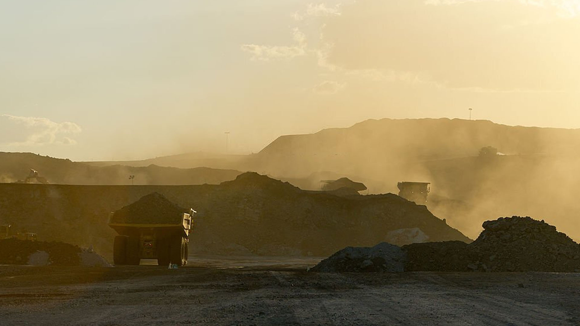
Urban Excellence Unveiled: SPARC's Path to Transform Jharsuguda Coal Complex
In the dynamic realm of urbanisation, development plans serve as...
Read More
Empowering Communities: SPARC's Transformative Journey in Designing Prosperous Irrigation Canals
In regions plagued by water scarcity, SPARC has embarked on a...
Read More
From Devastation to Resilience: Odisha's Evolution in Disaster Management
In the annals of natural disasters, the 1999 Super Cyclone that...
Read More
Unlocking Urban Potential: Pioneering Geospatial Analysis for Sustainable, Inclusive, and Resilient Cities
Revolutionising urban planning and development, SPARC leverages...
Read More
Empowering Odisha's Indigenous Communities: SPARC's Trailblazing Journey
Every year, SPARC observes the International Day of Indigenous People...
Read More
Sustainable Forest Management: Odisha's Geo-Referencing Initiative
Forests, essential for life on Earth, confront escalating pressures...
Read More
Empowering Slum Dwellers & Addressing Population Challenges
In tackling population challenges, empowering slum dwellers holds a...
Read More
Revolutionising Odisha's Agricultural Landscape
The Paddy Procurement Automation System (P-PAS) has brought about a...
Read More