SPARC has been involved in numerous projects that have had far-reaching impacts on the lives of millions of people. Our Pioneering Projects are designed to address complex spatial problems and to provide innovative solutions.
Our Projects
Services
Industries
Projects (30)

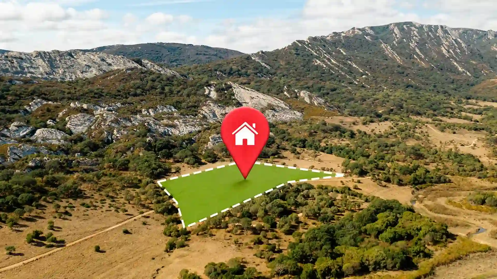
Farmland level paddy crop assessment for transparent procurement
Software
Geospatial
Governance
Agriculture
Insurance

Planning and monitoring of REDD+ afforestation programs
Software
Geospatial
Forest & Wildlife
Environment & Climate Change

Remote sensing & GIS based afforestation program impact assessment
Geospatial

Forestland information and decision support system
Software
Geospatial
Forest & Wildlife
Governance

Georeferenced forest cadastres for forestland governance
Geospatial
Consulting
Forest & Wildlife
Governance
Environment & Climate Change

Geo-ICT implementation in elephant movement monitoring
Software
Geospatial
Forest & Wildlife
Governance

Public transport planning and permit management system
Software
Geospatial
Governance
Logistics

Assessment and monitoring of World's largest slum land rights titling project
Software
Geospatial
Governance
Urban & Infrastructure
Land acquisition management system
Software
Geospatial
Governance
Industrial Establishment

Location based infrastructure and welfare scheme monitoring for Indigenous communities
Software
Geospatial
Governance
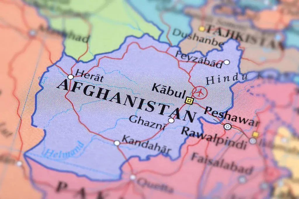
GeoICT implementation for issuance of land occupancy certificate in Kabul
Software
Governance
Urban & Infrastructure

Gamification app for citizen participation in climate change adaptation of urban communities
Software
Governance
Environment & Climate Change
Urban & Infrastructure

WebGIS based environmental monitoring system for industrial clusters
Software
Geospatial
Governance
Environment & Climate Change
Industrial Establishment

WebGIS based water utility asset & consumer management system
Software
Geospatial
Governance
Water Resources
Urban & Infrastructure
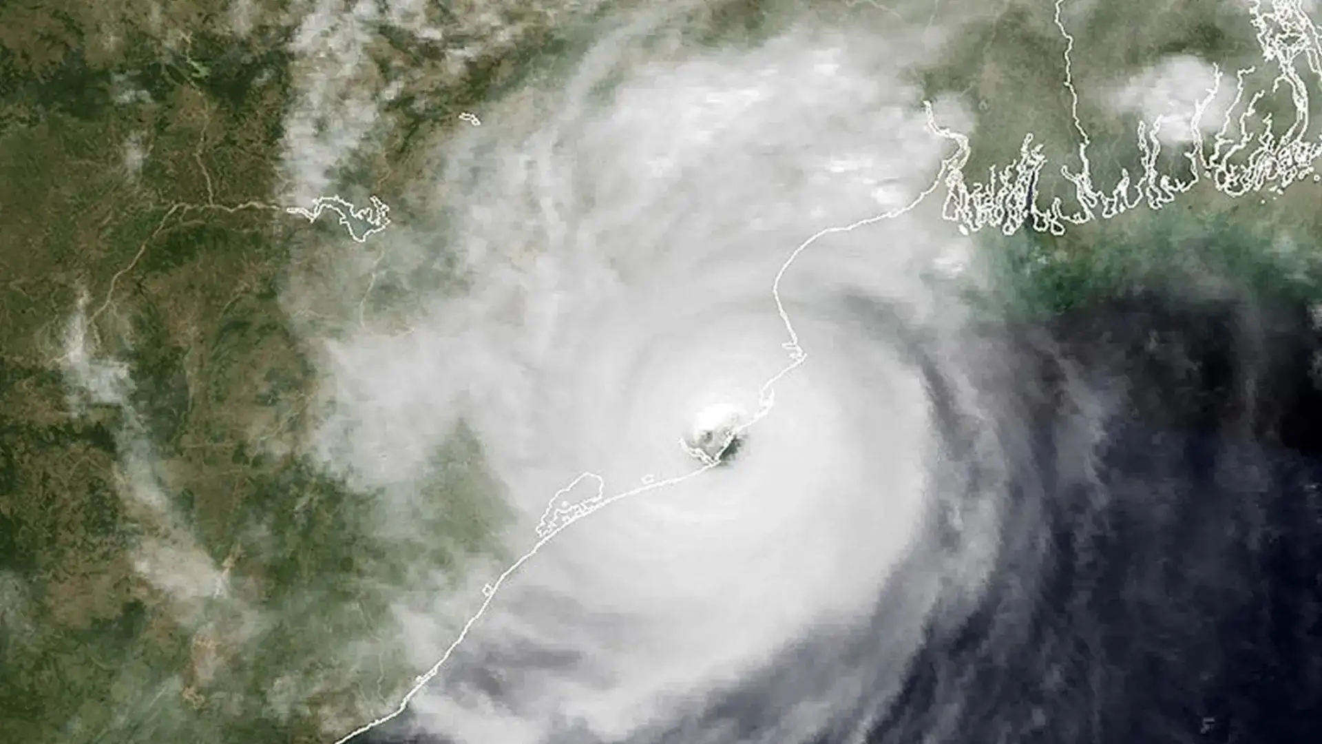
Disaster response planning for Odisha supper cyclone
Geospatial
Consulting
Governance

Urban Property Tax Management System for Ethiopia
Software
Governance
Urban & Infrastructure

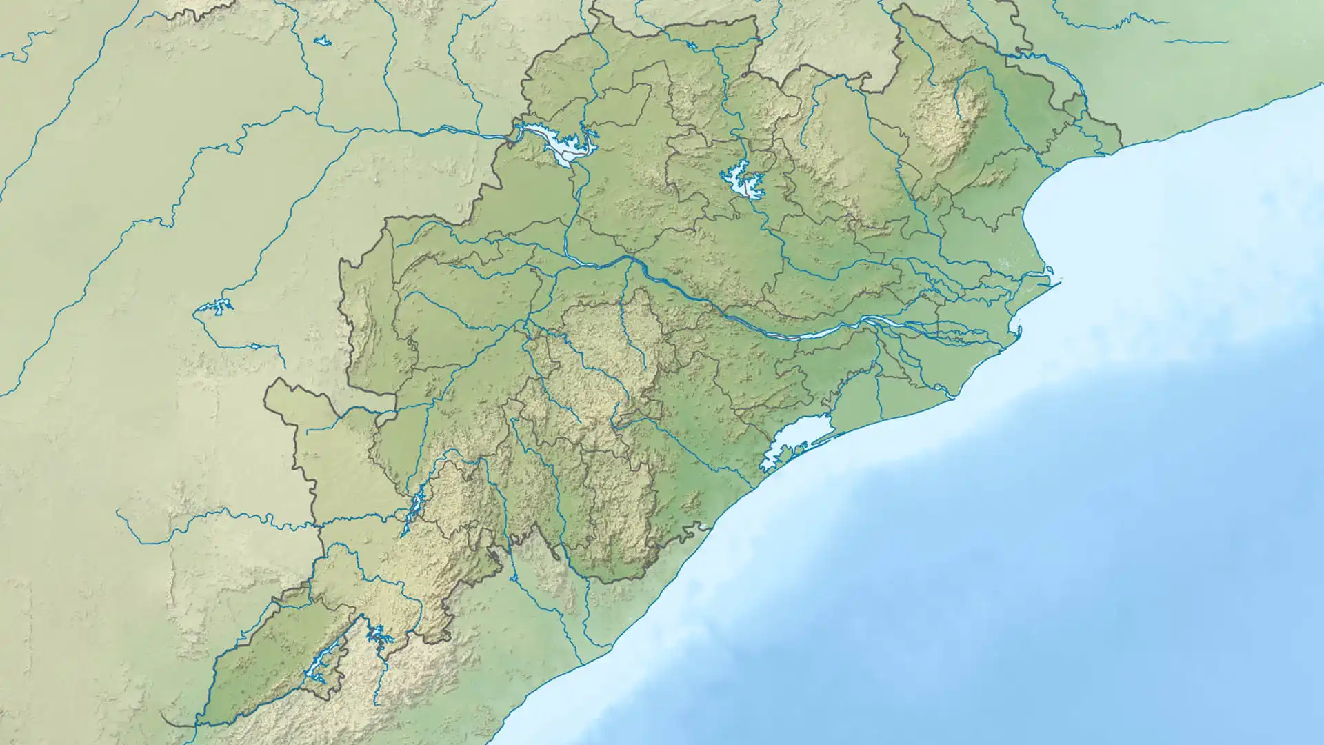
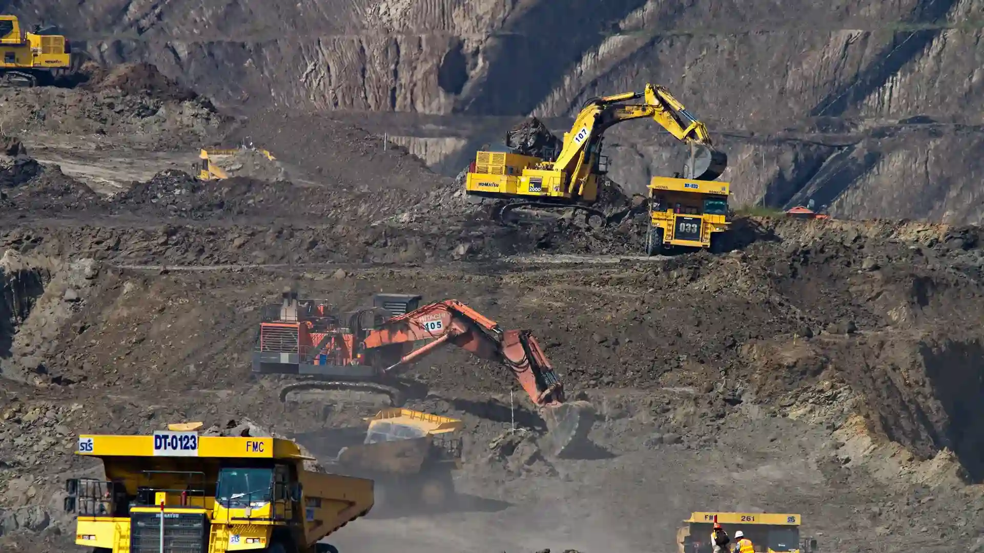
Inclusive growth planning of Keonjhar-Jajpur mineral resource corridor
Geospatial
Consulting
Governance
Mining and Geology
Logistics
Urban & Infrastructure

Efficient planning and management of electricity network: survey and GIS mapping of city power distribution
Software
Geospatial
Urban & Infrastructure

GIS mapping and tenability assessment of slums in the state capital of Bhubaneswar
Geospatial
Consulting
Governance
Urban & Infrastructure
GIS based land information system for Odisha Infrastructure Development Corporation
Software
Geospatial
Governance
Industrial Establishment
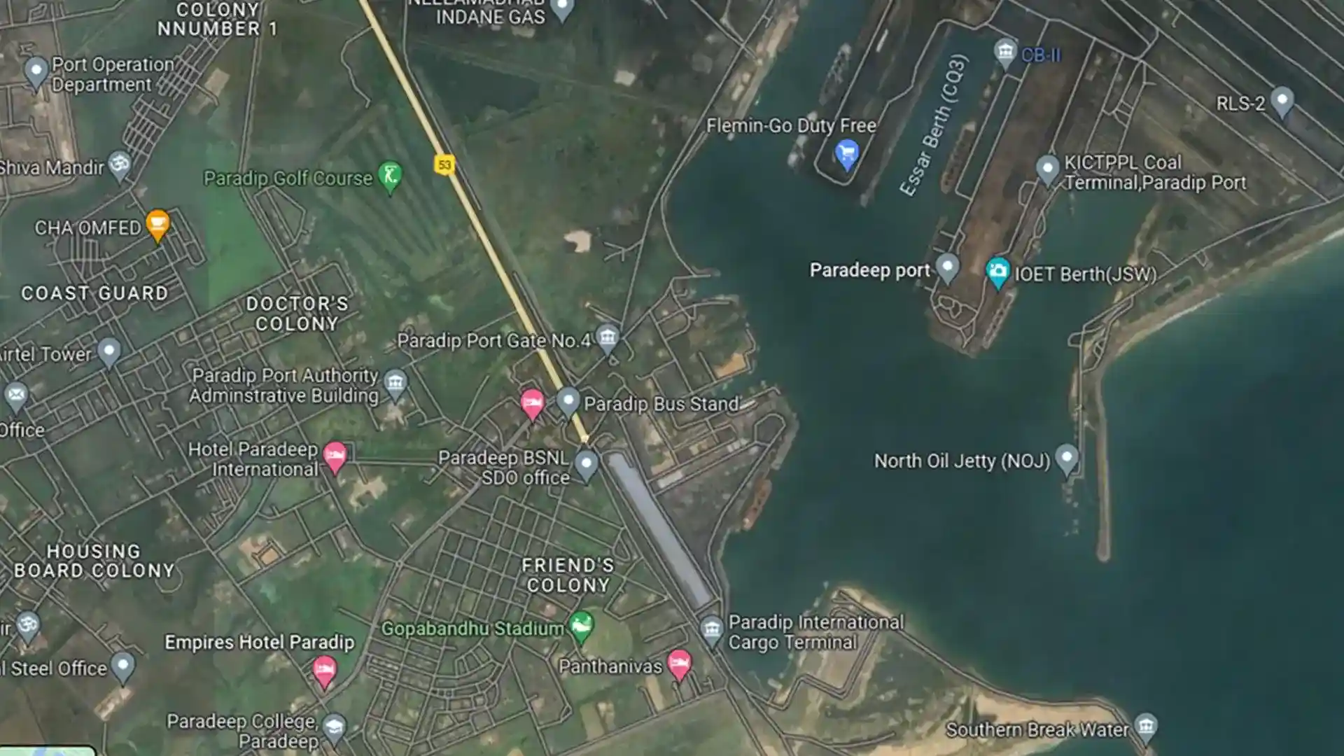
GIS based comprehensive development plan for Paradip Port Town
Geospatial
Consulting
Governance
Urban & Infrastructure
Logistics
GIS based Urban Master Plan Jharsuguda-Brajrajnagar-Belpahar Coal Complex
Geospatial
Consulting
Governance
Urban & Infrastructure
Logistics

Survey and Consultancy for preservation of heritage lakes and water bodies in the Temple City of Bhubaneswar
Geospatial
Consulting
Environment & Climate Change
Water Resources
Urban & Infrastructure

GIS based mapping & gap analysis for locating childcare facility (anganwadi centres) in the state of Odisha
Geospatial
Consulting
Governance

District GIS helpdesks for spatially aware planning and decision making
Geospatial
Governance
City wide cadastral based master plan information for Bhubaneswar City
Software
Geospatial
Governance
Urban & Infrastructure

Location-based Mapping and Upgradation Planning of Primary Education Facilities in Odisha
Geospatial
Consulting
Governance

Survey, planning and design of irrigation canal network system in Subarnarekha Irrigation Project
Geospatial
Consulting
Water Resources

Formulation of Agriculture Land use plan for irrigated commands
Geospatial
Consulting
Agriculture
Web GIS based information system for COVID19 management
Software
Geospatial
Governance