Urban & Infrastructure
We are honoured to play a significant role in shaping sustainable Urban & Infrastructure development, guided by the Geo-ICT approach. Our commitment to fostering smart cities and resilient infrastructure is at the heart of our endeavours.
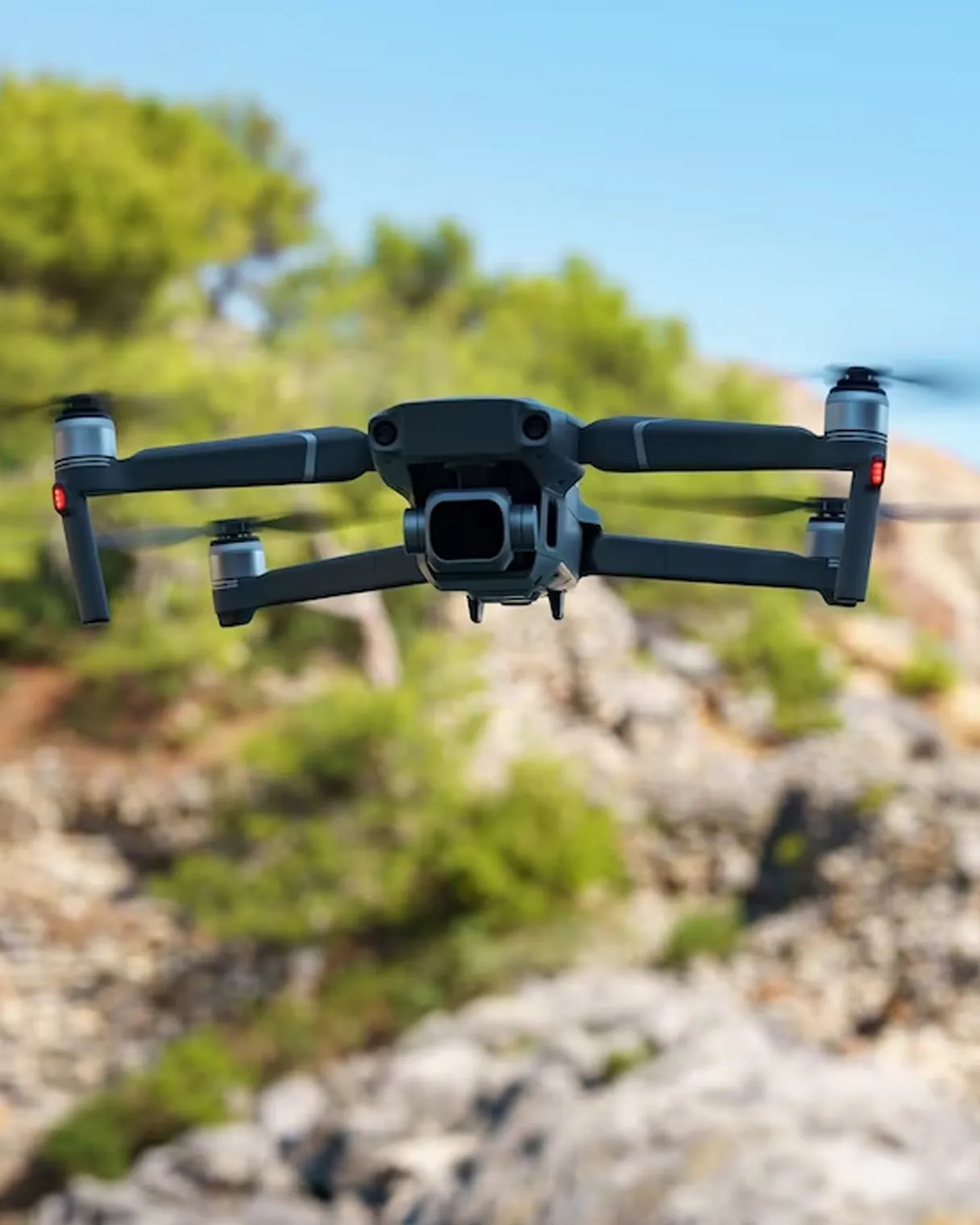
UAV-based Photogrammetry
Embracing the potential of UAV-based photogrammetry, we prepare accurate base maps, land use maps, DEMs and contours that support informed decision-making in urban planning and infrastructure development.
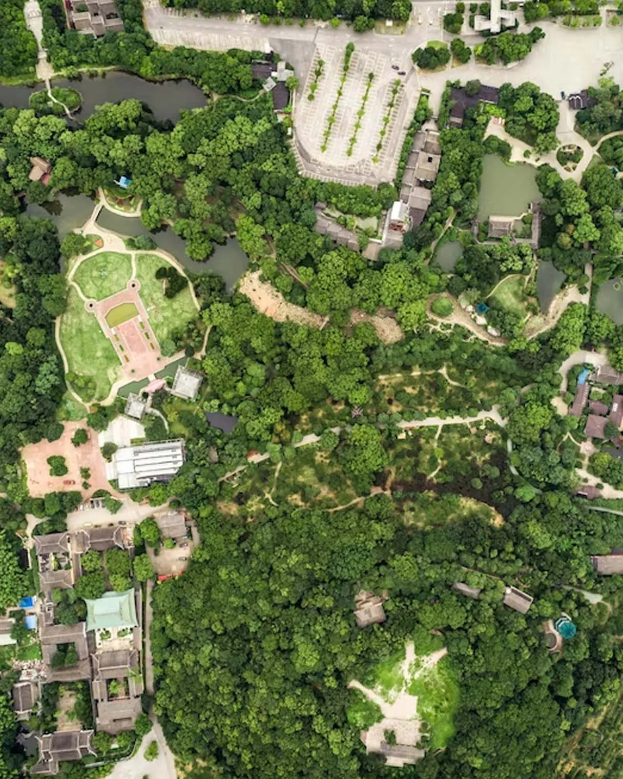
AI/ML Application for Urban Land-Use Monitoring
Our AI/ML Application enhances data analysis, allowing us to monitor urban growth and trends efficiently that supports sustainable land-use planning and prudent resource allocation.
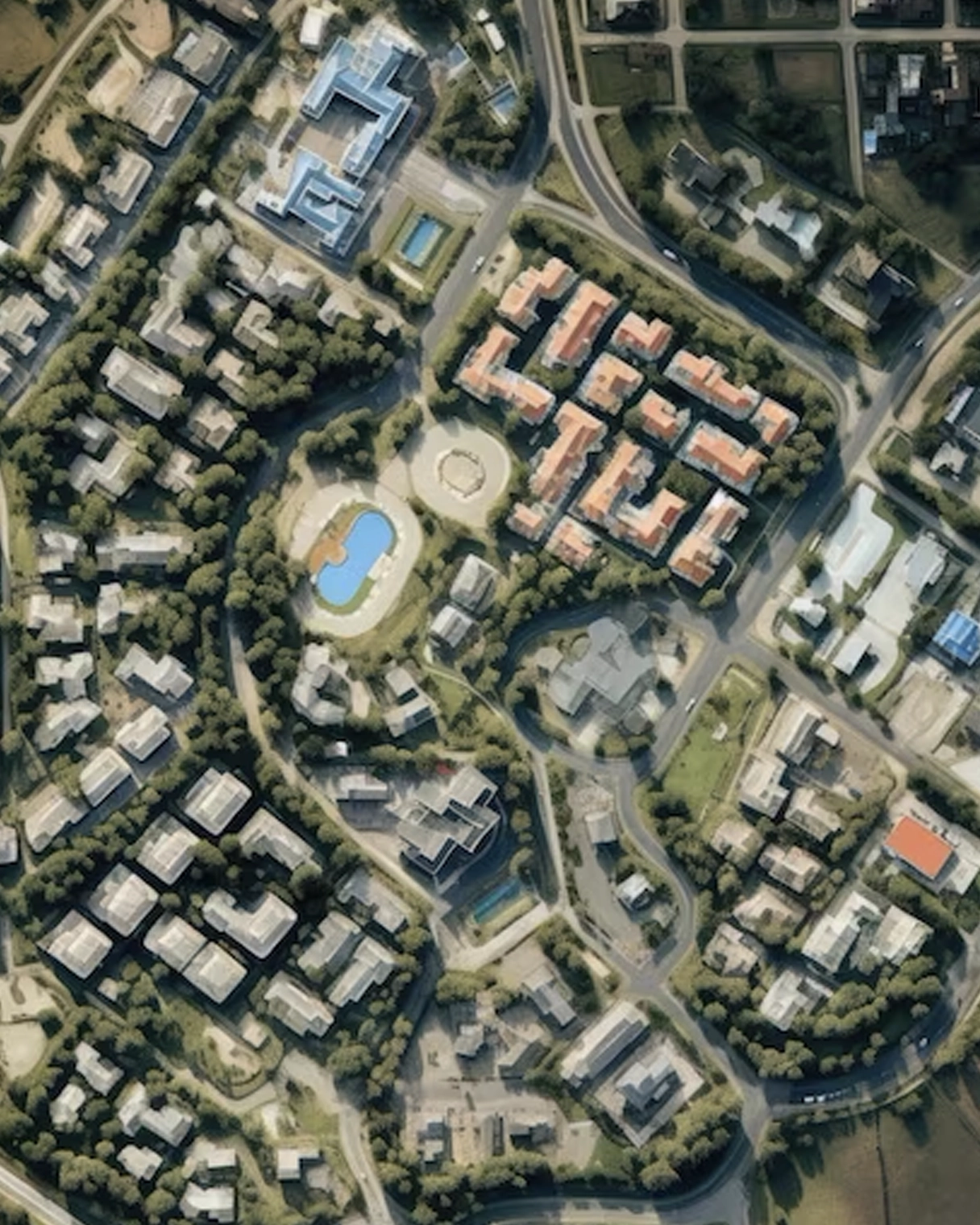
Property Tax Mapping and Monitoring System
We offer a Tax Mapping and Monitoring system that empower local authorities to efficiently manage property taxes, ensuring transparency and optimizing revenue collection for essential urban services.

Asset Mapping and Management Solutions
We offer a comprehensive platform for urban asset tracking and maintenance that fosters effective management and longevity of vital infrastructure, contributing to the overall well-being of communities.

Smart City Solutions
We address various urban challenges, including development regulation, traffic management, environmental monitoring, and utility infrastructure management while creating vibrant and sustainable urban spaces.

Consultancy Services
We prepare Development Plans/Master Plans and DPRs for essential urban utilities such as water supply, drainage, and sewerage by collaborating closely with stakeholders to design resilient and future-ready urban systems.
SPARC remains committed to building inclusive, innovative, and sustainable urban environments. With humility and dedication, we strive to contribute positively to the growth and prosperity of urban communities, fostering a better quality of life for all.
