


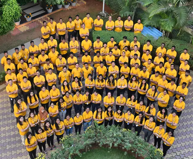
SPARC aims to create a platform that empowers professionals to push the boundaries of technology and increase efficiency and transparency for our client's businesses. Our dedicated recruitment team is committed to identifying and hiring the most promising talents in the industry.
25 years of excellence in delivering state-of-the art Software & IT enabled services.

A
About Us.
SPARC is a leading technology service company specializing in GIS (Geographic Information Systems). We leverage Geospatial and Software Technologies to support businesses and organizations worldwide. In the last 25 years, SPARC has cemented its position as one of the largest and trusted GeoICT companies in India. With an impressive portfolio of 500+ successful projects and 150+ clients across 10 different market verticals, we have become synonymous with quality and innovation.
From optimizing logistics to gaining insights across various sectors like governance, forestry, agriculture, and more, SPARC empowers informed decision-making, operational efficiency, and growth for our valued clients.
25 +
YEARS
500+
PROJECTS
150+
CLIENTS
Our Services
Software Services
Empowering businesses with innovative services for productivity and efficiency.
Geospatial Services
Leveraging our expertise to provide comprehensive geospatial Services.
Consulting Services
Utilizing GIS tools and industry knowledge to deliver strategic services.
Projects
Success Stories
Key Customers
Our extensive portfolio boasts collaborations with over 150 reputable organizations worldwide, a testament to the trust and satisfaction of our esteemed clientele. Each client we serve holds a significant and valued position in our portfolio, reflecting our dedication to delivering exceptional results.

Career
Your search concludes here if you seek challenging opportunities and strive for excellence. Join us in shaping the future of geoinformatics and technology.
